

4GOAL
An app that promotes young soccer talents and puts them in touch with experts.
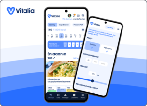
Vitalia
A mobile application that allows composing effective diets tailored to the user’s preferences.

An app that promotes young soccer talents and puts them in touch with experts.
A mobile application that allows composing effective diets tailored to the user’s preferences.